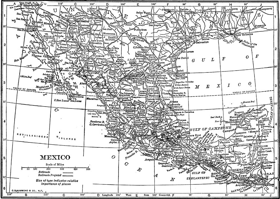
Description: A map from 1912 of Mexico showing the states and state capitals, major cities and towns, existing and proposed railroads, mountains, rivers, lakes, and coastal features of the country.
Place Names: Mexico, Mexico City, �Acapulco, �Monterrey, �Tijuana, �Gulf of Mexico, �Gulf of Campeche, �Gulf of California,
ISO Topic Categories: boundaries,
inlandWaters,
oceans,
transportation
Keywords: Mexico, physical, �political, �transportation, physical features, country borders, railroads, boundaries,
inlandWaters,
oceans,
transportation, Unknown, 1912
Source: The Manitoba Free Press, The Free Press Almanac Encyclopedia and Atlas (New York, NY: C. S. Hammond & Co., 1912) 115
Map Credit: Courtesy the private collection of Roy Winkelman |
|