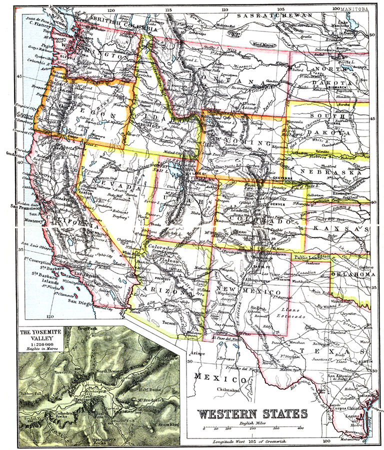
Description: The States considered the Western States in the early twentieth century.. The inset map shows the Yosemite Valley in Wyoming.
Place Names: Western States, Los Angeles, �Seattle, �San Diego, �California, �Nevada, �Utah, �Wyoming, �Montana, �Idaho, �Oregon, �Washington, �Arizona, �New Mexico, �Colorado, �West Coast, �Rocky Mountain Region, �Pacific States, �Washington Stat
ISO Topic Categories: society
Keywords: Western States, political, �transportation, major political subdivisions, railroads, society, Unknown, 1911
Source: Ernest Rhys, Ed., A Literary and Historical Atlas of North & South America (New York, NY: E.P. Dutton & CO., 1911) 70
Map Credit: Courtesy the private collection of Roy Winkelman |
|