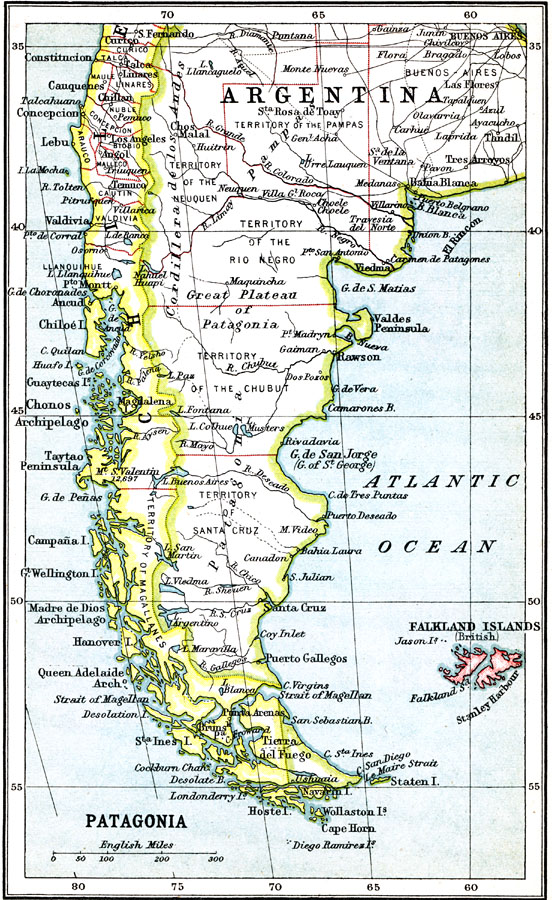
Description: A map from 1911 showing the region of Patagonia at the southern tip of South America from Buenos Aires in Argentina to Cape Horn on Tierra del Fuego, and includes the Falkland Islands (Islas Malvinas) as a British possession. The map shows the political boundaries of Argentina and Chile at the time, and includes state and territory boundaries. The map shows major cities, ports, and settlements, railways, rivers, terrain, and coastal features.
Place Names: A Regional Map of South America, Argentina, �Chile, �Patagoni
ISO Topic Categories: society
Keywords: Patagonia, political, �physical, physical features, country borders, society, Unknown, 1911
Source: Ernest Rhys, Ed., A Literary and Historical Atlas of North & South America (New York, NY: E.P. Dutton & CO., 1911) 96
Map Credit: Courtesy the private collection of Roy Winkelman |
|