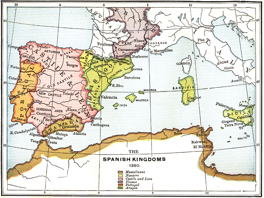
Description: A map of the Iberian Peninsula showing the Spanish Kingdoms of Mussulmans, Navarre, Castile and Leon, France, Portugal, and Aragon.
Place Names: Regional Mediterranean, Africa, �Europe, �Casile and Leon, �Portugal, �Aragon, �France, �Granada, �Navarre, �Mussulman
ISO Topic Categories: physical, �political, �historical, kWorldMedSea, kWorldEuroAfrica
Keywords: The Spanish Kingdoms, physical, �political, �historical, physical features, country borders, physical, �political, �historical, kWorldMedSea, kWorldEuroAfrica, Unknown, 1360
Source: P. V. N. Myers, A General History for Colleges and High Schools (Boston, MA: Ginn & Company, 1896) 498
Map Credit: Courtesy the private collection of Roy Winkelman |
|