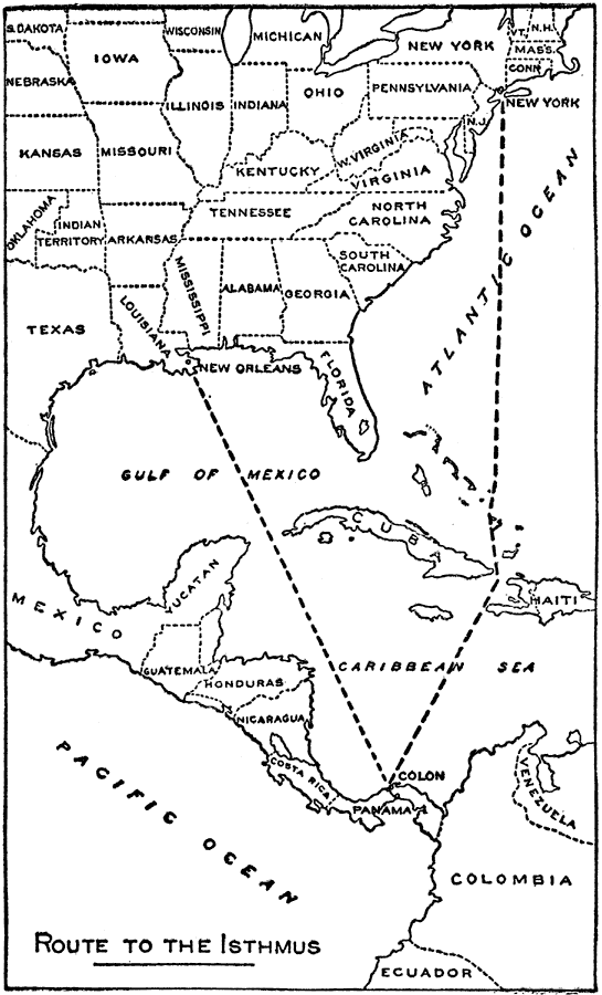
Description: A map from 1913 of the eastern United States, the Caribbean, and the Panama Isthmus showing the directness of the steamship routes from New York and New Orleans to Colon. Since the Panama Canal did not open to commercial traffic until 1914, this map was used to promote the canal over the trans–continental rail or shipping around the southern tip of South America as a means of transporting goods.
Place Names: A Regional Map of North America, Panama Canal, �New Orleans, �New York, �Colon, �Atlantic Ocean, �Pacific Ocean, �United States of America, �Panama, �Republic of Panama, �Gulf of Mexico, �United State
ISO Topic Categories: boundaries,
inlandWaters,
transportation
Keywords: Routes to the Panama Isthmus, physical, �political, �transportation, �trade routes, �canal, �physical features, country borders,
major political subdivisions, water routes, boundaries,
inlandWaters,
transportation, Unknown, 1913
Source: Logan Marshall, The Story of the Panama Canal (, : L.T. Myers, 1913) 209
Map Credit: Courtesy the private collection of Roy Winkelman |
|