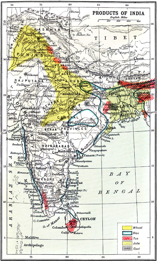
Description: A map from 1912 of India, showing the major agricultural production regions for wheat, rice, tea, and jute, and the coal deposit regions. The map shows major cities, rivers, and terrain that effect cultivation, mining, and transportation of these products.
Place Names: India , Bangalore, �Bombay, �Madras, �Ceylon, �Haidarabad, �Mysor
ISO Topic Categories: economy
Keywords: Products of India (II), historical, �physical, �economy, kAgriculture, kResources, physical features,
topographical, economy, Unknown, 1912
Source: Ernest Rhys, Ed., A Literary and Historical Atlas of Asia (New York, NY: E.P. Dutton & CO., 1912) 55
Map Credit: Courtesy the private collection of Roy Winkelman |
|