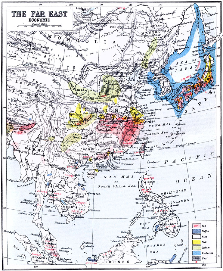
Description: A map from 1912 of the Far East, showing principal economic products of the region. The map is color–coded to show areas of tea, coffee, rice (outlined in black), silk, opium, fisheries, and coal production. Other products are named in red. The map shows major cities and ports, rivers, terrain and coastal features, and islands of the region.
Place Names: Eastern Asia, China, �Japan, �Philippines, �manchuria, �Mongolia, �Tibe
ISO Topic Categories: economy
Keywords: Economy of the Far East, physical, �Economy, kEconomic, physical features,
topographical, economy, Unknown, 1912
Source: Ernest Rhys, Ed., A Literary and Historical Atlas of Asia (New York, NY: E.P. Dutton & CO., 1912) 72
Map Credit: Courtesy the private collection of Roy Winkelman |
|