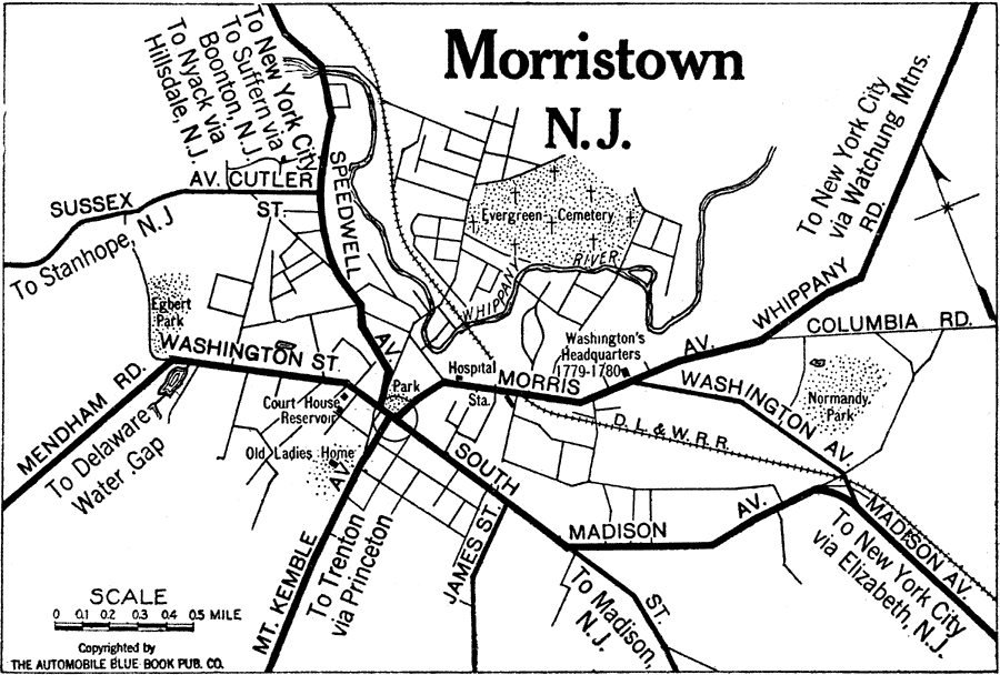
Description: Morristown, New Jersey. Includes roads and railroads.
Place Names: New Jersey, Morristown, �Whippany River, �Normandy Park, �Egbert Park,
ISO Topic Categories: location,
inlandWaters,
transportation
Keywords: Morristown, New Jeresy, physical, �transportation, kAutomobile, physical features, roads,
railroads, location,
inlandWaters,
transportation, Unknown,1920
Source: , Automobile Club of Rochester (New York, NY: The Automobile Club of Rochester, 1920) 181
Map Credit: Courtesy the private collection of Roy Winkelman |
|