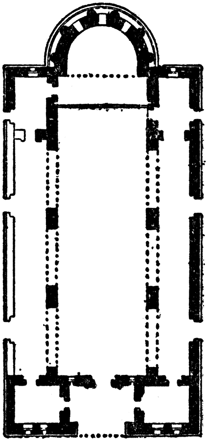
Description: This is a plan of the church of Kalb–Lauzeh (Qalb Lozeh), Syria. This is an example of Early Christian architecture.
Place Names: Syria, Plan of Church of Kalb-Lauze
ISO Topic Categories: structure
Keywords: Plan of Church of Kalb-Lauzeh, historical, �architecture, kArchitecture, structure, Unknown, AD 380–609
Source: , The Enctclopædia Britannica a Dictionary of Arts, Sciences, Literature and General Information Eleventh Edition Volume II Andros to Austria (New York, NY: The Encyclopædia Britannica Company, 1910) 390
Map Credit: Courtesy the private collection of Roy Winkelman |
|