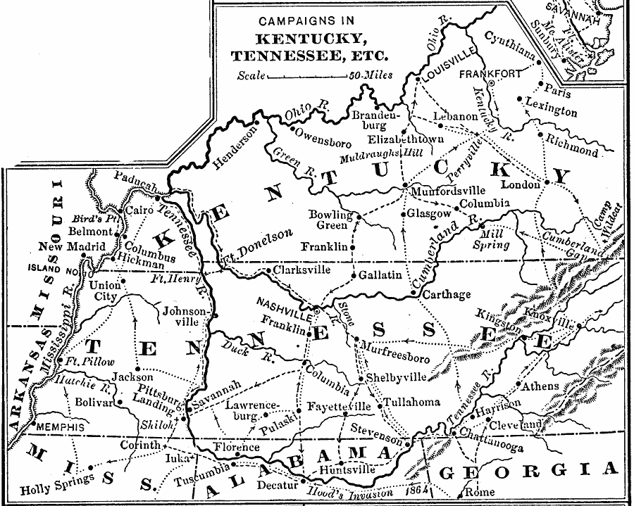
Description: A map of Kentucky, Tennessee, northern Mississippi, Alabama, and Georgia, showing the battle sites and routes of campaigns during the War of 1812. The map shows rivers and mountains, cities and towns, and forts in the area. An inset map details the area around Savannah and Fort McAlister.
Place Names: Growth of Nation, Kentucky, �Tennessee, �Frankfort, �Athens, �Mississippi, �Alabama, �Georgia, �Kentucky, �War of 181
ISO Topic Categories: boundaries,
intelligenceMilitary,
inlandWaters,
location
Keywords: Campaigns in Kentucky and Tennessee, physical, �political, �historical, physical features, major political subdivisions, Civil War, boundaries,
intelligenceMilitary,
inlandWaters,
location, Unknown, 1812–1814
Source: Joel Dorman Steele, A Brief History of the United States (New York, NY: American Book Company, 1885) 222
Map Credit: Courtesy the private collection of Roy Winkelman |
|