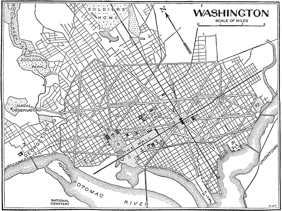
Description: A city plan from 1921 of Washington D.C., "the capital of the United States of America, named for the first President of the republic, and located on a site chosen by him." — Foster, 1921. This map also shows the location of city's government buildings, museums, parks, cemeteries, main avenues and other structures.
Place Names: District of Columbia, Washington D.C., �Pennsylvania Avenue, �Massachusetts Avenue, �Potomac River, �Soldiers Home, �Rock Creek Park, �Georgetown, �Unionto
ISO Topic Categories: location,
inlandWaters,
boundaries,
transportation,
structure
Keywords: Washington D.C., physical, �political, �transportation, �cemetery, �park, �museums, �riversphysical features, major political subdivisions,
county borders, roads, location,
inlandWaters,
boundaries,
transportation,
structure, Unknown,1921
Source: Ellsworth D. Foster, ed., The American Educator Vol. 8 (Chicago, IL: Ralph Durham Company, 1921) 3814
Map Credit: Courtesy the private collection of Roy Winkelman |
|