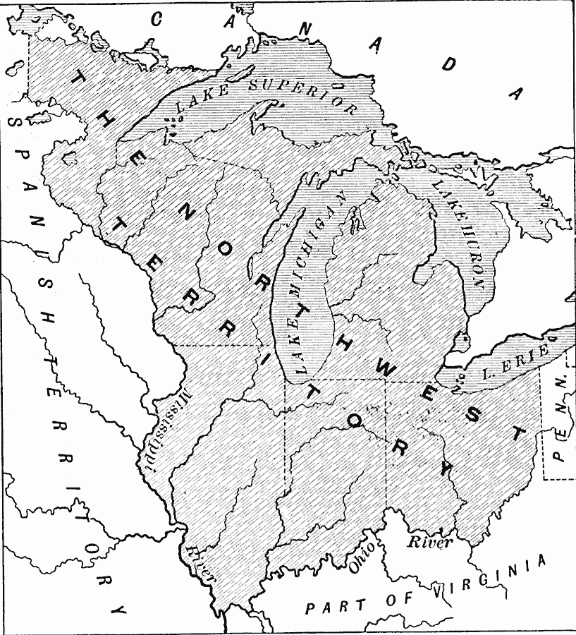
Description: A map of the Northwest Territory of the United States north of the Ohio River and between the Mississippi River and Pennsylvania in 1787 at the time of the passing of "The Ordinance of Eighty–seve." which guaranteed several rights to the settlers of the area, including the abolition of slavery.
Place Names: Growth of Nation, Northwest Territory, �Lake Superior, �Lake Michigan, �Lake Huron, �Lake Erie, �Mississippi Rive
ISO Topic Categories: boundaries,
inlandWaters,
location
Keywords: The Northwest Territory, physical, �political, �historical, �ordinance of eighty-seven, physical features, country borders,
major political subdivisions, historical event, boundaries,
inlandWaters,
location, Unknown, 1787
Source: Edward Eggleston, The Household History of the United States and Its People (New York, NY: D. Appleton and Company, 1898) 235
Map Credit: Courtesy the private collection of Roy Winkelman |
|