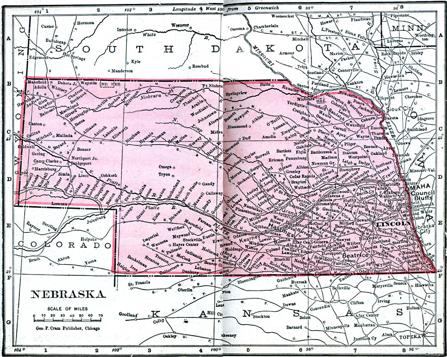
Description: A map from 1906 of Nebraska showing the capital of Lincoln, major cities and towns, railroads, and rivers.
Place Names: Nebraska, Columbus, �Fremont, �Ft. Kearney, �Lincoln, �Nebraska City, �Niobrara, �North Platte, �Omaha, �Stockville, �Waho
ISO Topic Categories: boundaries,
inlandWaters,
location,
oceans
Keywords: Nebraska, physical, �political, �borders, �boundaries, �physical features, country borders, boundaries,
inlandWaters,
location,
oceans, Unknown, 1906
Source: George F. Cram , Cram's Quick Reference Atlas and Gazetteer of the World (Chicago , IL: George F. Cram Series of Atlases, 1906) 44
Map Credit: Courtesy the private collection of Roy Winkelman |
|