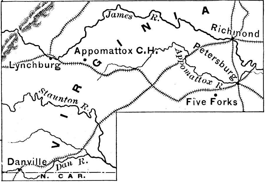
Description: The region where the closing days of the Civil War were fought. Appomattox Courthouse (where Lee surrendered) is also shown.
Place Names: Virginia, Apomattox, �Lynchburg, �Five Forks, �Richmon
ISO Topic Categories: boundaries,
inlandWaters,
location,
oceans,
intelligenceMilitary
Keywords: Virginia, physical, �political, �historical, �transportation, physical features, major political subdivisions, railroads, Civil War, boundaries,
inlandWaters,
location,
oceans,
intelligenceMilitary, Unknown, 1865
Source: Edward Eggleston, The Household History of the United States and Its People (New York, NY: D. Appleton and Company, 1898) 345
Map Credit: Courtesy the private collection of Roy Winkelman |
|