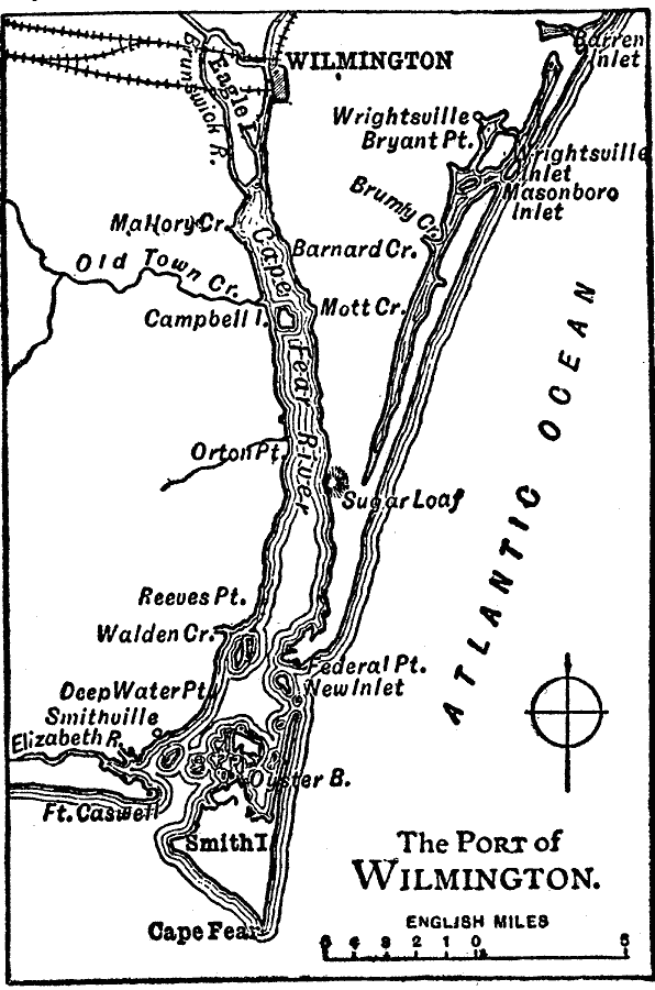
Description: A map from 1909 of the port of Wilmington in North Carolina, showing the Cape Fear River, railroads, neighboring towns, and coastal features.
Place Names: North Carolina, Wilmington, �Cape Fear, �Smith Island, �Campbell Island, �Wrightsvill
ISO Topic Categories: inlandWaters,
location,
transportation,
oceans
Keywords: The Port of Wilmington, physical, �political, �transportation, physical features, railroads, inlandWaters,
location,
transportation,
oceans, Unknown, 1909
Source: Chandler B. Beach, The New Student's Reference Work (Chicago, IL: F. E. Compton and Company, 1909) 2091
Map Credit: Courtesy the private collection of Roy Winkelman |
|