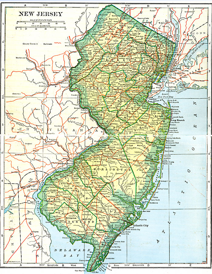
Description: The state of New Jersey and its counties.
Place Names: New Jersey, Atlantic City, �Newark, �Jersey City, �Elizabeth, �New Brunswick, �Paterson, �Salem, �Trento
ISO Topic Categories: boundaries,
inlandWaters,
location,
transportation
Keywords: New Jersey, physical, �political, �transportation, physical features, major political subdivisions,
county borders, railroads, boundaries,
inlandWaters,
location,
transportation, Unknown, 1920
Source: John C. Winston, Winston's New and Complete Atlas of the World (New York, NY: The John C. Winston Company, 1920) 84
Map Credit: Courtesy the private collection of Roy Winkelman |
|