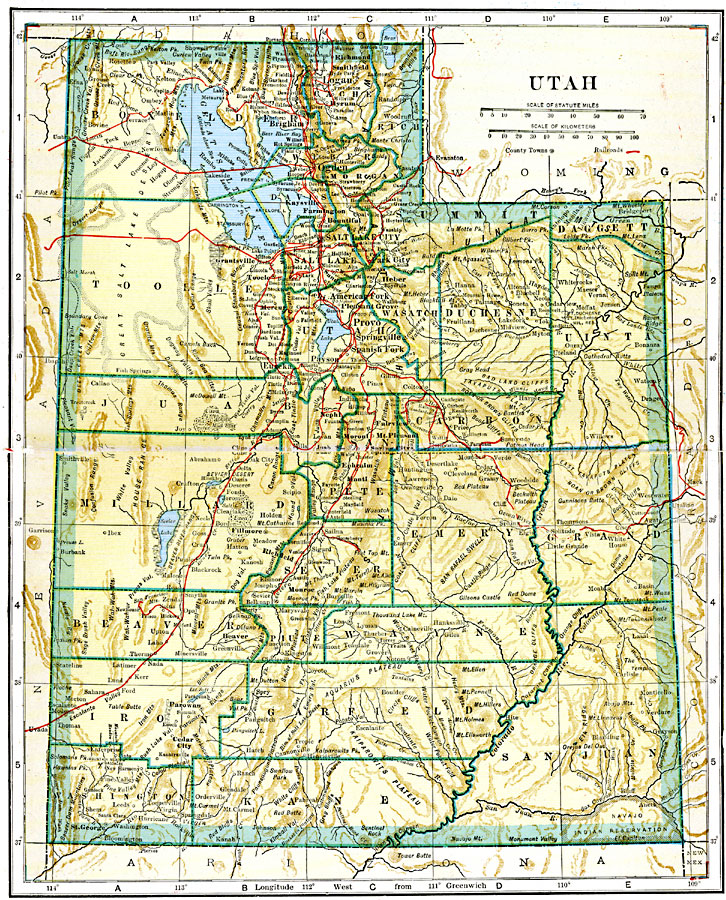
Description: A map from 1920 of Utah showing the capital at Salt Lake City, counties and county seats, principal cities and towns, railroads, mountains, lakes, rivers, and the Great Salt Lake Desert region to the west of Salt Lake.
Place Names: Utah, Brigham, �Logan, �Deseret, �Provo, �Salt Lake City, �Ogden, �St. George, �Parowan, �Murray, �Eurek
ISO Topic Categories: transportation,
inlandWaters,
location,
boundaries
Keywords: Utah, physical, �political, �transportation, physical features, local jurisdictions,
county borders, railroads, transportation,
inlandWaters,
location,
boundaries, Unknown, 1920
Source: John C. Winston, Winston's New and Complete Atlas of the World (New York, NY: The John C. Winston Company, 1920) 116
Map Credit: Courtesy the private collection of Roy Winkelman |
|