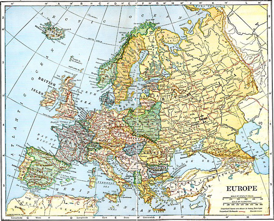
Description: A map showing the countries of Europe as they were around 1920.
Place Names: A Complete Map of Europe, France, �Germany, �Greece, �Italy, �Poland, �Portugal, �Romania, �Spain, �Sweden, �United Kingdom, �Norway, �Iceland, �Irelan
ISO Topic Categories: transportation,
boundaries,
inlandWaters,
location,
oceans
Keywords: Europe, physical, �political, �transportation, physical features, country borders, railroads,
water routes, transportation,
boundaries,
inlandWaters,
location,
oceans, Unknown, 1920
Source: John C. Winston, Winston's New and Complete Atlas of the World (New York, NY: The John C. Winston Company, 1920) 140
Map Credit: Courtesy the private collection of Roy Winkelman |
|