mapsMaps ETC Site map
 Maps ETC > Astronomical > A Regional Map of Astronomical > The Earth on a Winter's Night in England, 1912
Site Map 

The Earth on a Winter's Night in England, 1912

The Earth on a Winter's Night in England


Title: The Earth on a Winter's Night in England
Projection: Unknown,
Source Bounding Coordinates:
W: E: N: S:

Main Map Page
Zoomify Version
B/W PDF Version
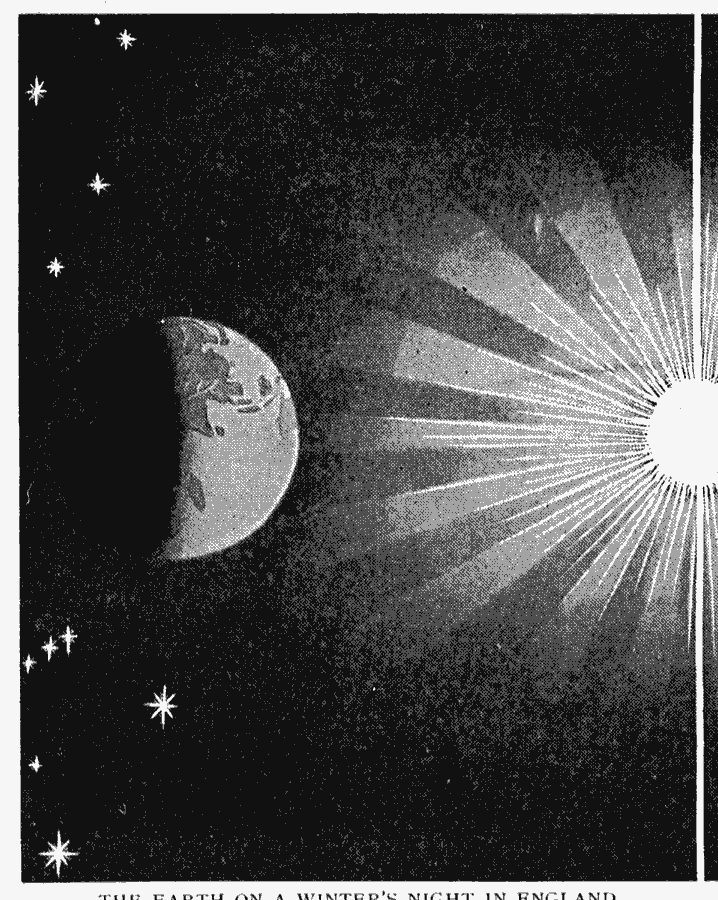
Description: An illustration of the sun and earth on a winter's night in England.
Place Names: A Regional Map of Astronomical, Earth, Su
ISO Topic Categories: climatologyMeteorologyAtmosphere
Keywords: The Earth on a Winter's Night in England, physical, physical features, climatologyMeteorologyAtmosphere, Unknown, 1912
Source: Arthur Mee and Holland Thompson, Ph.D., The Book of Knowledge Vol 1 (New York, NY: The Grolier Society, 1912) 79
Map Credit: Courtesy the private collection of Roy Winkelman
SearchLicensePDF HelpGIS Help Google Earth Help Zoomify Help

 Maps ETC > Astronomical > A Regional Map of Astronomical > The Earth on a Winter's Night in England, 1912
Site Map