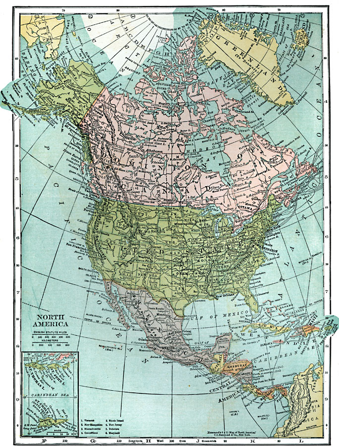
Description: A map from 1920 of North America showing territory borders, capitals, state capitals, major cities and ports, railways, submarine cable routes, mountain systems, lakes, rivers, and coastal features. An inset map details the Caribbean islands of St. Thomas, St. John, and St. Croix.
Place Names: A Complete Map of North America, Bahamas, �Canada, �Cuba, �Mexico, �United States, �Greenlan
ISO Topic Categories: boundaries,
inlandWaters,
location,
oceans
Keywords: North America, physical, �political, physical features, country borders,
major political subdivisions, boundaries,
inlandWaters,
location,
oceans, Unknown, 1920
Source: , Leslie's New World Atlas (New York City, NY: Leslie-Judge Company, 1920) 32
Map Credit: Courtesy the private collection of Roy Winkelman |
|