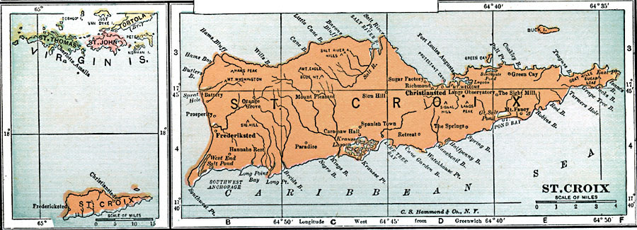
Description: A map from 1920 of the island of St. Croix with an inset of St. John and St. Thomas.
Place Names: Virgin Islands, Christiansted, �Frederiksted, �Paradise, �Prosperity, �Sion Hill, �Sugar Factory, �Green Cay, �The Sight Mill, �Langs Observatory, �The Springs, �Spanish Tow
ISO Topic Categories: inlandWaters,
location,
oceans
Keywords: St. Croix, physical, �political, kCaribbean, physical features, inlandWaters,
location,
oceans, Unknown, 1920
Source: , Leslie's New World Atlas (New York City, NY: Leslie-Judge Company, 1920) 37
Map Credit: Courtesy the private collection of Roy Winkelman |
|