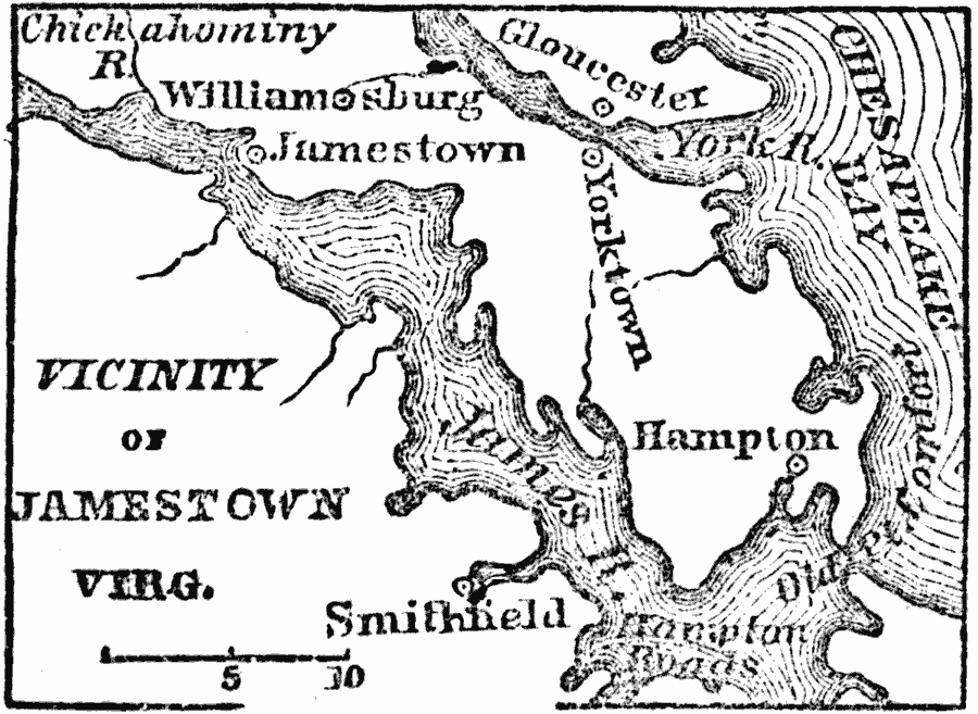
Description: A map of the early English settlements in Virginia. Jamestown is on the north side of James river, 30 miles from its mouth, and 8 miles south–southwest from Williamsburg.
Place Names: Virginia, Jamestown, �Williamsburg, �Hapton, �Glouceste
ISO Topic Categories: inlandWaters,
location,
oceans
Keywords: Vicinity of Jamestown, physical, physical features, inlandWaters,
location,
oceans, Unknown, 1872
Source: Marcius Willson, History of the United States (New York, NY: Ivison, Blakeman, Taylor, and Co., 1872) 44
Map Credit: Courtesy the private collection of Roy Winkelman |
|