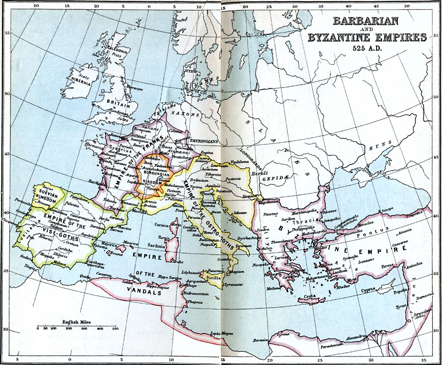
Description: A map showing the Barbarian and Byzantine Empires as they appeared in AD 525. The map includes the Suevian Kingdom, Empire of the Visi–Goths, Empire of the Franks, the Burgundian Kingdom, Empire of the Ostro–Goths, and the Empire of the Vandals. Important cities of the time are shown, as well as groups such as the Picts in Caledonia, Scots in Hibernia, Jutes, Britons, and Anglo–Saxons in Britain, Danes, Saxons, Thuringians, Frisians, Slaves, and Huns.
Place Names: Regional Mediterranean, Barbarian, �Britain, �Byzantine, �Caledonia, �empire, �Franks, �Hibernia, �Ostrogoths, �Vandals, �Visigoths, �France, �Germany, �Greece, �Ital
ISO Topic Categories: country borders, �political, kByzantineEmpire, kWorldMedSea, kWorldAfroAsia, kWorldEurasia, kWorldEuroAfrica
Keywords: Barbarian and Byzantine Empires, country borders, �political, kByzantineEmpire, country borders, country borders, �political, kByzantineEmpire, kWorldMedSea, kWorldAfroAsia, kWorldEurasia, kWorldEuroAfrica, Unknown, AD 525
Source: J.G. Bartholomew, LLD, A Literary & Historical Atlas of Europe (New York, NY: E.P. Dutton & Co., Ltd. , 1910) 10-11
Map Credit: Courtesy the private collection of Roy Winkelman |
|