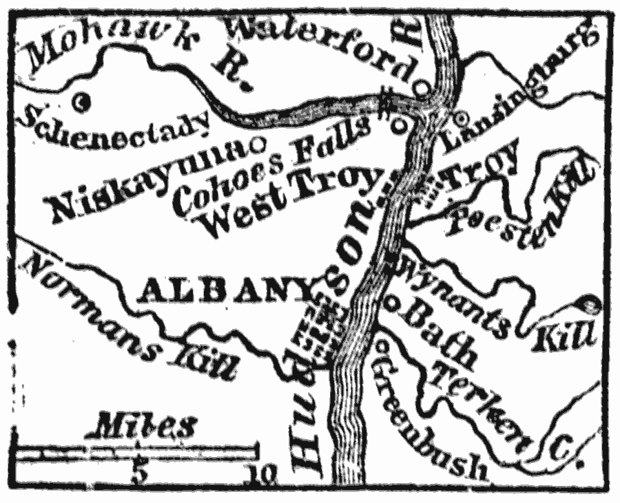
Description: A map from 1872 of the vicinity of Albany New York, showing neighboring towns and the Hudson and Mohawk rivers. Albany, now the capital of the state of New York, is situated on the west bank of the Hudson River, 145 miles north from New York by the river's course.
Place Names: New York, Albany, �Troy, �Bat
ISO Topic Categories: location,
inlandWaters
Keywords: Albany and Vicinity, physical, �political, physical features, local jurisdictions, location,
inlandWaters, Unknown, 1872
Source: Marcius Willson, History of the United States (New York, NY: Ivison, Blakeman, Taylor, and Co., 1872) 118
Map Credit: Courtesy the private collection of Roy Winkelman |
|