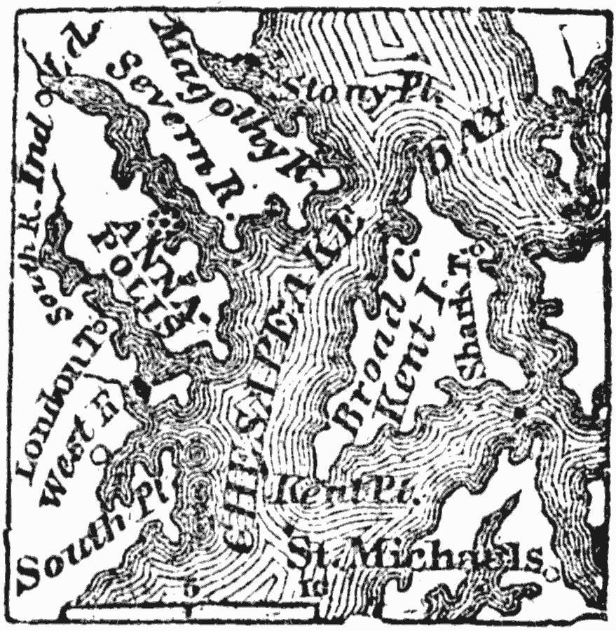
Description: A map from 1872 of the vicinity of Annapolis (formerly called Providence), now the capital of Maryland, situated on the southwest side of the river Severa, two miles from its entrance into Chesapeake Bay. It is twenty five miles south from Baltimore, and thirty–three northeast from Washington D.C.
Place Names: Maryland, Annapoli
ISO Topic Categories: location,
oceans,
inlandWaters
Keywords: Vicinity of Annapolis, physical, physical features, location,
oceans,
inlandWaters, Unknown, 1872
Source: Marcius Willson, History of the United States (New York, NY: Ivison, Blakeman, Taylor, and Co., 1872) 142
Map Credit: Courtesy the private collection of Roy Winkelman |
|