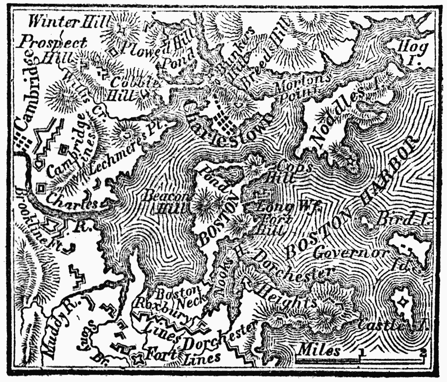
Description: A plan of the siege of Boston showing the American fortifications around the harbor and British positions in Charlestown.
Place Names: Massachusetts, Boston, �Cambridge, �Charlestow
ISO Topic Categories: location,
inlandWaters,
intelligenceMilitary,
oceans
Keywords: Plan of the Siege of Boston, physical, �historical, kAmericanRevolution, physical features, American Revolution, location,
inlandWaters,
intelligenceMilitary,
oceans, Unknown, 1775
Source: Marcius Willson, History of the United States (New York, NY: Ivison, Blakeman, Taylor, and Co., 1872) 210
Map Credit: Courtesy the private collection of Roy Winkelman |
|