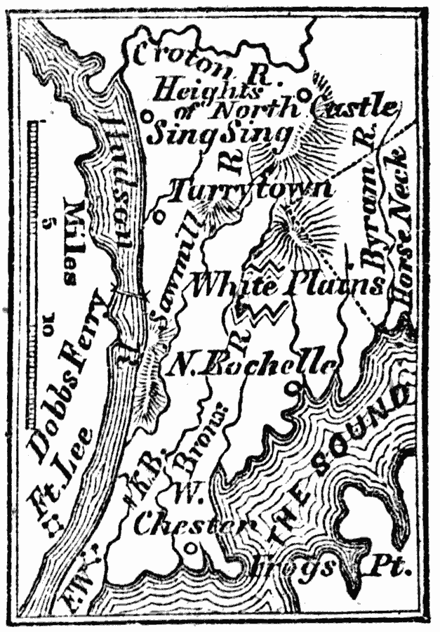
Description: A map from 1872 of the vicinity of White Plains during the American Revolutionary War, showing important forts and battle sites in 1776.
Place Names: New York, Westcheste
ISO Topic Categories: inlandWaters,
location
Keywords: Westchester County, physical, kAmericanRevolution, physical features, inlandWaters,
location, Unknown, 1872
Source: Marcius Willson, History of the United States (New York, NY: Ivison, Blakeman, Taylor, and Co., 1872) 225
Map Credit: Courtesy the private collection of Roy Winkelman |
|