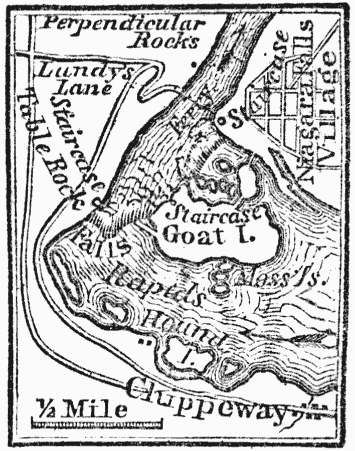
Description: A map showing the vicinity of Niagara Falls around 1814, including important sites of the War of 1812.
Place Names: New York, Niagara Tow
ISO Topic Categories: inlandWaters,
location,
transportation
Keywords: Vicinity of Niagara Falls, physical, �transportation, physical features, roads, inlandWaters,
location,
transportation, Unknown, 1814
Source: Marcius Willson, History of the United States (New York, NY: Ivison, Blakeman, Taylor, and Co., 1872) 319
Map Credit: Courtesy the private collection of Roy Winkelman |
|