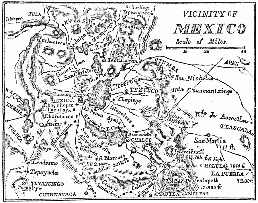
Description: A map of the vicinity of Mexico City showing the route of General Scott from Puebla to the city during the Mexican–American War (1847), including operations and battle sites in the area.
Place Names: Mexico, Tezcuco, �Chalco, �Otumba, �Mexico Cit
ISO Topic Categories: location,
inlandWaters
Keywords: Vicinity of Mexico, physical, �transportation, physical features, roads, location,
inlandWaters, Unknown, 1847
Source: Marcius Willson, History of the United States (New York, NY: Ivison, Blakeman, Taylor, and Co., 1872) 358
Map Credit: Courtesy the private collection of Roy Winkelman |
|