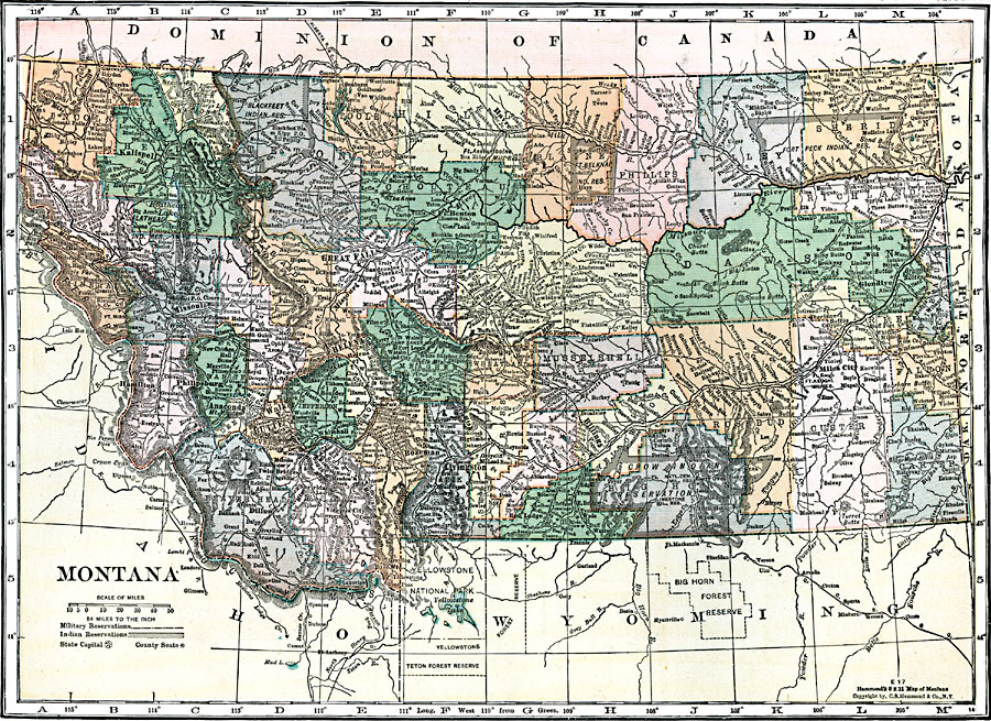
Description: A map from 1920 of Montana showing the capital of Helena, counties and county seats, major cities and towns, Indian reservations, railroads, rivers, and mountains. The boundaries of Yellowstone National Park, primarily in Wyoming, are shown.
Place Names: Montana, Kalispell, �Hamilton, �Phillipsburg, �Anaconda, �Dillon, �Walker, �Butte, �Deer Lodge, �Missoula, �Great Falls, �Helena, �Whitehall, �Livingston, �Benton, �Havre, �Billings, �Red Lodge, �Glendive, �Miles Cit
ISO Topic Categories: boundaries,
inlandWaters,
location,
transportation
Keywords: Montana, physical, �political, �transportation, kNativeAmerican, physical features, major political subdivisions,
county borders,
country borders, roads,
railroads, boundaries,
inlandWaters,
location,
transportation, Unknown, 1920
Source: , Leslie's New World Atlas (New York City, NY: Leslie-Judge Company, 1920) 90
Map Credit: Courtesy the private collection of Roy Winkelman |
|