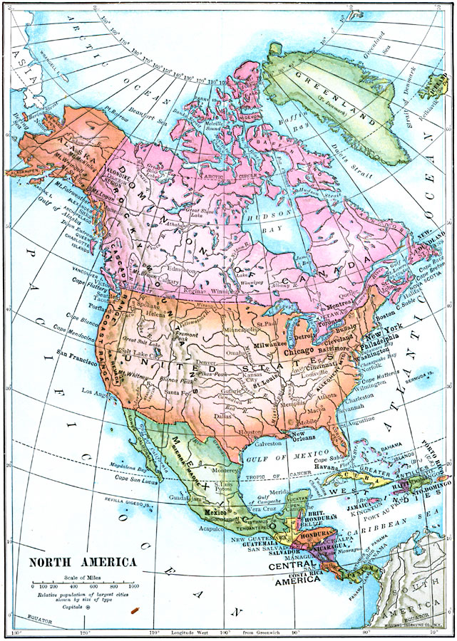
Description: A map from 1910 of North America showing the Dominion of Canada, Greenland, the United States, Mexico, Guatemala, British Honduras (Belize), San Salvador (El Salvador), Honduras, Nicaragua, Costa Rica, Panama, and the islands of the Caribbean including the Bahamas, Cuba, Haiti, Santo Domingo, Porto Rico, and Jamaica. The map shows capitals and major cities, rivers, mountain systems, and coastal features of the region.
Place Names: A Complete Map of North America, Bahamas, �Canada, �Cuba, �Mexico, �United States, �Haiti, �Greenland, �Honduras, �Nicaragu
ISO Topic Categories: inlandWaters,
location,
oceans,
boundaries
Keywords: North America, physical, �political, physical features, country borders, inlandWaters,
location,
oceans,
boundaries, Unknown, 1910
Source: Ralph S. Tarr, B.S., F.G.S.A. and Frank M. McMurry, Ph.D., New Geographies 2nd ed (New York, NY: The Macmillan Company, 1910) 4
Map Credit: Courtesy the private collection of Roy Winkelman |
|