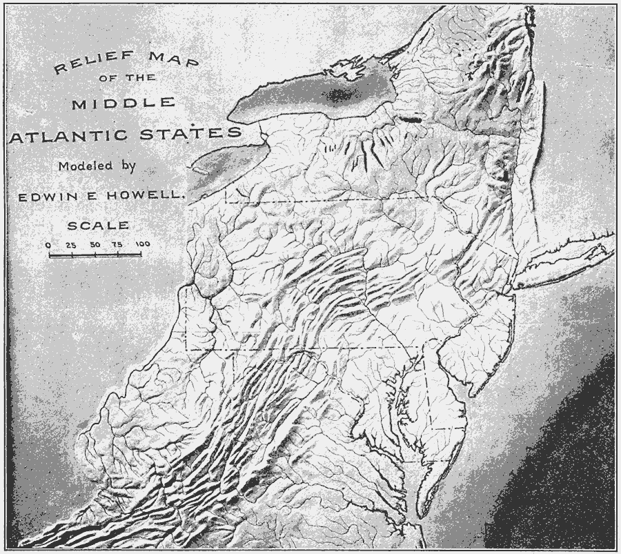
Description: A relief map from 1910 of the Middle Atlantic States showing the terrain features, river systems, and coastal features of New York, Pennsylvania, New Jersey, Delaware, Maryland, Virginia, and West Virginia.
Place Names: Middle Atlantic States, Atlantic States, �Mid-Atlantic State
ISO Topic Categories: location,
oceans,
inlandWaters,
boundaries
Keywords: Relief Map of the Middle Atlantic States, physical, �political, kRelief, physical features, major political subdivisions, location,
oceans,
inlandWaters,
boundaries, Unknown, 1910
Source: Ralph S. Tarr, B.S., F.G.S.A. and Frank M. McMurry, Ph.D., New Geographies 2nd ed (New York, NY: The Macmillan Company, 1910) 48
Map Credit: Courtesy the private collection of Roy Winkelman |
|