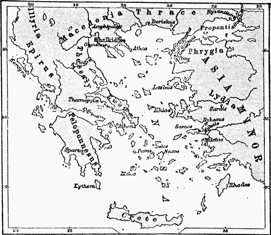
Description: A map of Greece and the Aegean Sea in 1876, showing Peloponnesus, Epirus, Illyria, Thessaly, Macedonia, Thrace, and the major islands of Lesbos, Khios, Paros, Delos, Naxos, Kythera, Melos, Rhodes, and Crete.
Place Names: Greece, Asia, �Byzantium, �Crete, �Greece, �Illyria, �Lydia, �Macedonia, �Peloponnesus, �Persian Gulf, �Phrygia, �Scythia, �Thrac
ISO Topic Categories: oceans,
location,
inlandWaters
Keywords: Greece and the Aegean Sea, borders, �historical, oceans,
location,
inlandWaters, Unknown, 1876
Source: C. A. Fyffe , History of Greece (New York, New York: D. Appleton and Company, 1876) 10
Map Credit: Courtesy the private collection of Roy Winkelman |
|