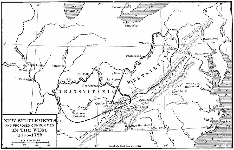
Description: A map of the new settlements and proposed communities in the Tennessee and Kentucky country between the Allegheny Mountains and the Ohio River, from 1775 to 1782. The map shows the proposed proprietary colony of Transylvania under Judge Richard Henderson (1775), and the proposed colony of Westsylvania, put to the Second Continental Congress of 1776 by the settlers of the area as "the Fourteenth Province of the American Confederacy." Included on the map are Nashboro (Nashville), the Cumberland Gap, and Fort Pitt (Pittsbugh), and other settlements along and west of the Mississippi River.
Place Names: Early America 1400-1800, St. Louis, �Charlotte, �Richmond, �Baltimor
ISO Topic Categories: boundaries,
inlandWaters,
location,
oceans
Keywords: New Settlements and Proposed Communities in the West, physical, �political, physical features, major political subdivisions, boundaries,
inlandWaters,
location,
oceans, Unknown, 1775–1782
Source: Albert Bushnell Hart, LL.D., The American Nation Vol 9 (New York, NY: Harper and Brothers, 1906) 278
Map Credit: Courtesy the private collection of Roy Winkelman |
|