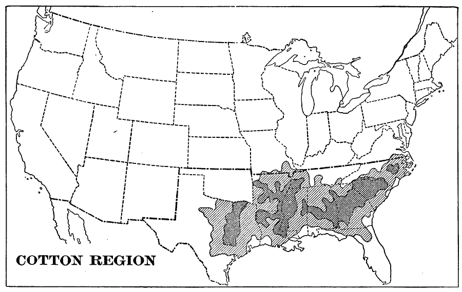
Description: A map from 1901 showing the cotton growing region in the United States.
Place Names: Agriculture, cotto
ISO Topic Categories: boundaries,
inlandWaters,
oceans,
farming
Keywords: United States Cotton Region, physical, �political, �statistical, kAgriculture, physical features, major political subdivisions,
country borders, agriculture, boundaries,
inlandWaters,
oceans,
farming, Unknown, 1901
Source: Jacques W. Redway, Natural Advanced Geography (New York, NY: American Book Company, 1901) 58
Map Credit: Courtesy the private collection of Roy Winkelman |
|