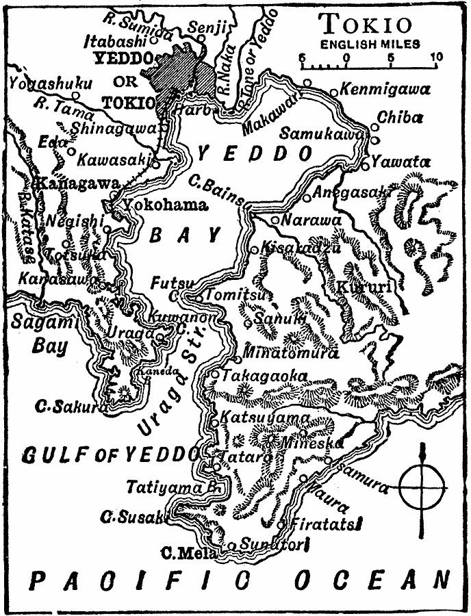
Description: A map from 1919 of the area around Yeddo or Tokio (Tokyo) and Yeddo Bay at the time. The map shows the railway running from Tokyo to Yokohama, the coastal features of Yeddo Bay and Uraga Strait, neighboring cities and towns, terrain features, and rivers of the area.
Place Names: Japan, Tokyo, �Chib
ISO Topic Categories: boundaries,
inlandWaters,
location,
oceans,
transportation
Keywords: Tokyo, physical, �political, �transportation, physical features, local jurisdictions, railroads, boundaries,
inlandWaters,
location,
oceans,
transportation, Unknown, 1919
Source: Charles Morris, Winston's Cumulative Encyclopedia Vol 10 (Philadelphia, PA: The John C. Winston Company, 1919) tab 5
Map Credit: Courtesy the private collection of Roy Winkelman |
|