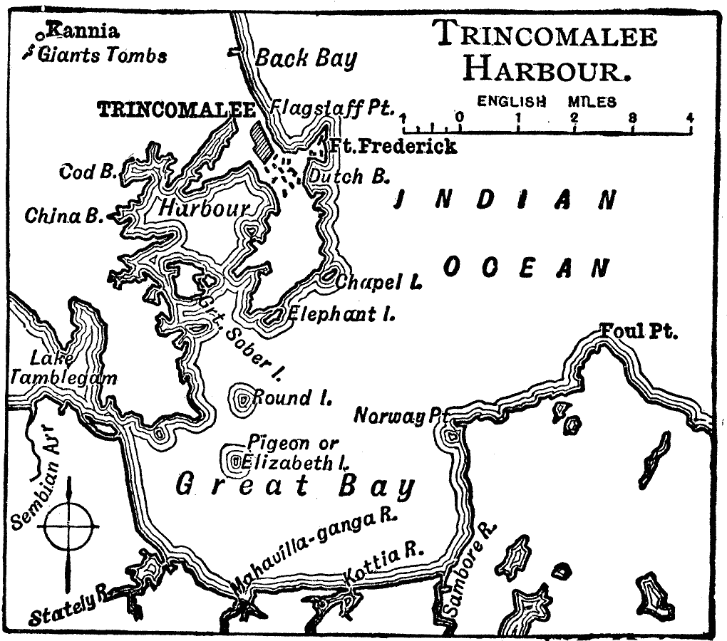
Description: A map from 1919 of the Trincomalee Harbor on the northeast coast of the island of Ceylon (Sri Lanka). The map shows the city of Trincomalee on the northern peninsula, Fort Frederick, and the rivers, islands and coastal features of Great Bay. This map shows the Giants Tombs near Kannia, possibly referring to the mythical King Ravana.
Place Names: Sri Lanka, Trincomalee, �Sri Lank
ISO Topic Categories: inlandWaters,
location,
oceans
Keywords: Trincomalee, physical, physical features, inlandWaters,
location,
oceans, Unknown, 1919
Source: Charles Morris, Winston's Cumulative Encyclopedia Vol 10 (Philadelphia, PA: The John C. Winston Company, 1919) tab 7
Map Credit: Courtesy the private collection of Roy Winkelman |
|