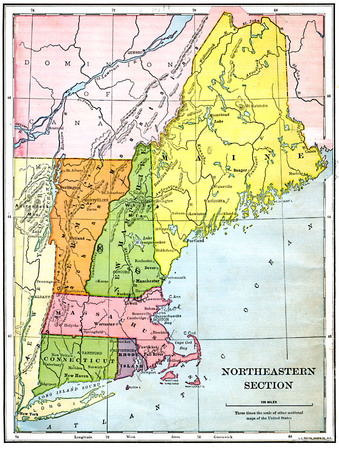
Description: Northeastern United States.
Place Names: New England States, Boston, �Connecticut, �Maine, �Massachusetts, �New England, �New Hampshire, �New York, �Rhode Island, �Vermon
ISO Topic Categories: location,
oceans,
inlandWaters
Keywords: Northeastern Section, location,
oceans,
inlandWaters, Unknown, 1897
Source: Jacques W. Redway & Russell Hinman, Natural Introductory Geography (New York, NY: American Book Company, 1897) 42
Map Credit: Courtesy the private collection of Roy Winkelman |
|