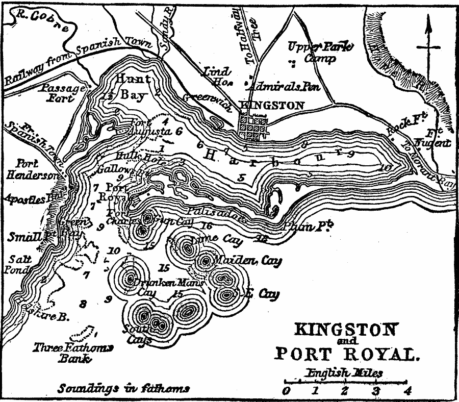
Description: A map from 1919 of the Jamaican capital city Kingston and nearby Port Royal, showing the harbor, forts Augusta, Charles, Henderson, and Passage, railway to Spanish Town, major roads, Hope River, Sandy River, and River Cobre, and coastal features in the area. Water depths of the harbor are given in fathoms.
Place Names: Jamaica, Kingston, �Cobre River, �Port Roya
ISO Topic Categories: transportation,
inlandWaters,
location,
oceans
Keywords: Kingston and Port Royal, transportation, �physical, physical features, roads,
railroads, transportation,
inlandWaters,
location,
oceans, Unknown, 1919
Source: Charles Morris, Winston's Cumulative Encyclopedia Vol 6 (Philadelphia, PA: The John C. Winston Company, 1919) tab 4
Map Credit: Courtesy the private collection of Roy Winkelman |
|