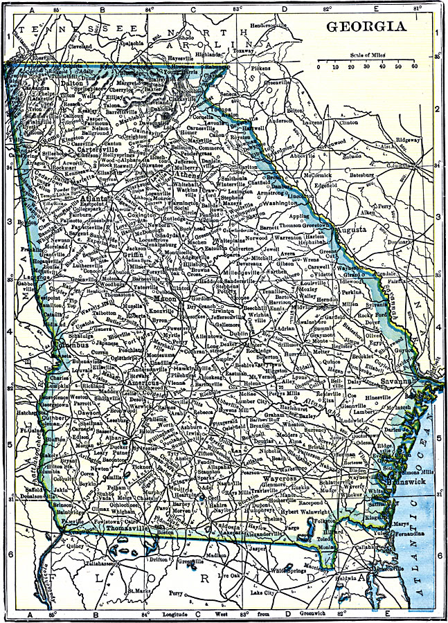
Description: A map from 1919 of Georgia showing the State capital of Atlanta, major cities and towns, railroads, northern mountains, lakes, rivers, and the Atlantic coastline.
Place Names: Georgia, Athens, �Atlanta, �Macon, �Savannah, �Augusta, �Clayton, �Columbus, �Milledgeville, �Rom
ISO Topic Categories: transportation,
boundaries,
oceans,
location,
inlandWaters
Keywords: Georgia, physical, �political, �transportation, physical features, major political subdivisions, railroads, transportation,
boundaries,
oceans,
location,
inlandWaters, Unknown, 1919
Source: Charles Morris, Winston's Cumulative Encyclopedia Vol 4 (Philadelphia, PA: The John C. Winston Company, 1919) tab 17
Map Credit: Courtesy the private collection of Roy Winkelman |
|