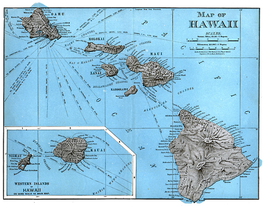
Description: A map from 1899 of the Hawaiian Islands showing the main islands, cities, towns, ports, principal steamship routes from Honolulu with distances to other ports given, volcanoes, terrain, and coastal features. The inset map shows the western islands of Kauai and Niihau.
Place Names: Hawaii, Hana, �Hawaii, �Hilo, �Honolulu, �Kauai, �Kahoolawe, �Kaneohe, �Kuamalapau, �Lanai, �Makaha, �Maui, �Molokai, �Niihau, �Oahu, �Pahoa, �Pearl City, �Puuwai, �Waime
ISO Topic Categories: oceans,
location,
inlandWaters
Keywords: Hawaii, physical, physical features, oceans,
location,
inlandWaters, Unknown, 1899
Source: Edward S. Ellis, A. M., Ellis' History of the United States From the Discovery of America to the Present Time (Minneapolis, MN: Western Book Syndicate, 1899)
Map Credit: Courtesy the private collection of Roy Winkelman |
|