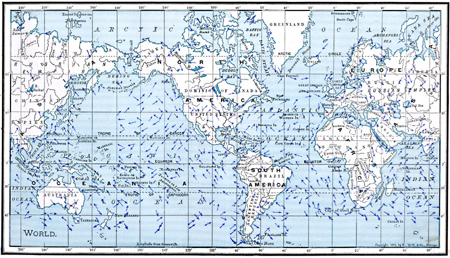
Description: A map from 1901 of the world, showing the prevailing wind directions for the month of July.
Place Names: A Complete Map of Globes and Multi-continent, Africa, �Antarctica, �Asia, �Australia, �Europe, �North America, �South Americ
ISO Topic Categories: oceans,
location,
inlandWaters,
climatologyMeteorologyAtmosphere
Keywords: Map of World Showing Winds for July, borders, �meteorological, �physical, �winds, kClimate, winds, oceans,
location,
inlandWaters,
climatologyMeteorologyAtmosphere, Unknown, 1901
Source: James A. Bowen, Grammar School Geography (Chicago, IL: Rand, McNally & Company, 1901) 35
Map Credit: Courtesy the private collection of Roy Winkelman |
|