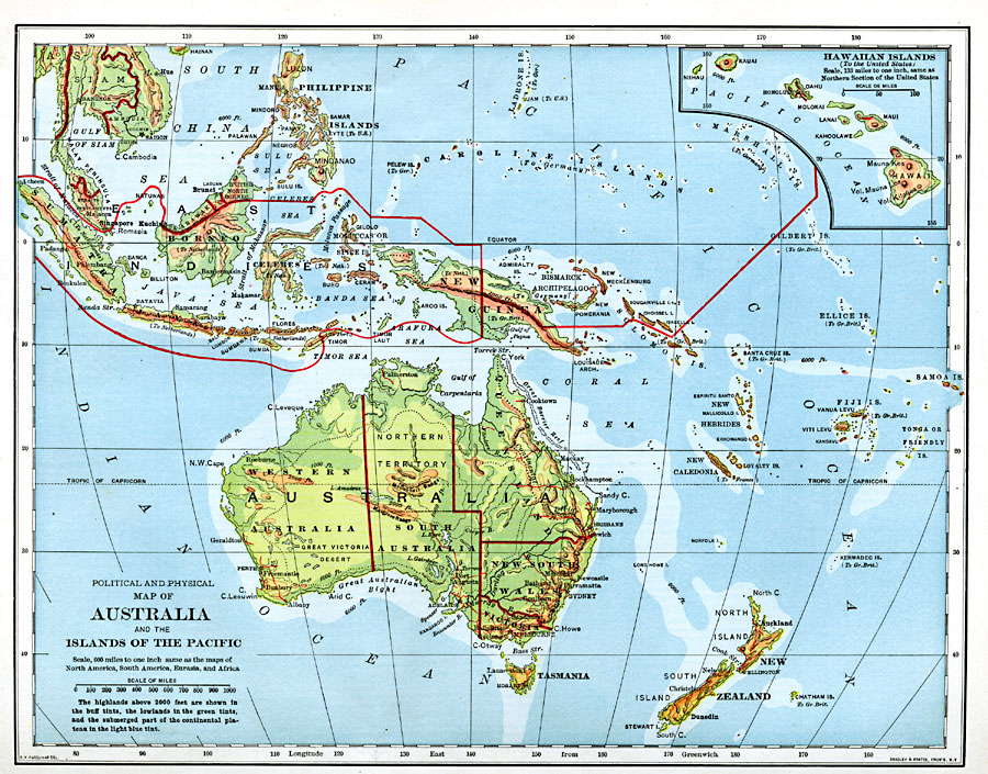
Description: A physical and political map from 1901 of Australia and the islands of the Pacific, covering the area roughly from Sumatra in the East Indies to Fiji, and the Philippines in the north to New Zealand in the south, with an inset map detailing the Hawaiian Islands. The highlands above 2000 feet are shown in buff tints, the lowlands in green tints, and the submerged part of the continental plateau in light blue tint, with elevations and depths given for specific sites. Watershed divisions are shown with dashed lines. The map shows territorial boundaries, foreign possessions, major cities and ports, railways, lakes, rivers, coastal features, reefs, and islands.
Place Names: Regional Pacific Ocean, Australia, �Siam, �Anam, �Sumatra, �Borneo, �Philippine Islands, �Celebes, �New Guinea, �Bismarck Archipelago, �New Zealand, �Hawaiian Islands, �Jav
ISO Topic Categories: physical, �political, kWorldPacific
Keywords: Australia and the Islands of the Pacific, physical, �political, physical features, country borders,
major political subdivisions, physical, �political, kWorldPacific, Unknown, 1901
Source: Jacques W. Redway, Natural Advanced Geography (New York, NY: American Book Company, 1901) 150
Map Credit: Courtesy the private collection of Roy Winkelman |
|