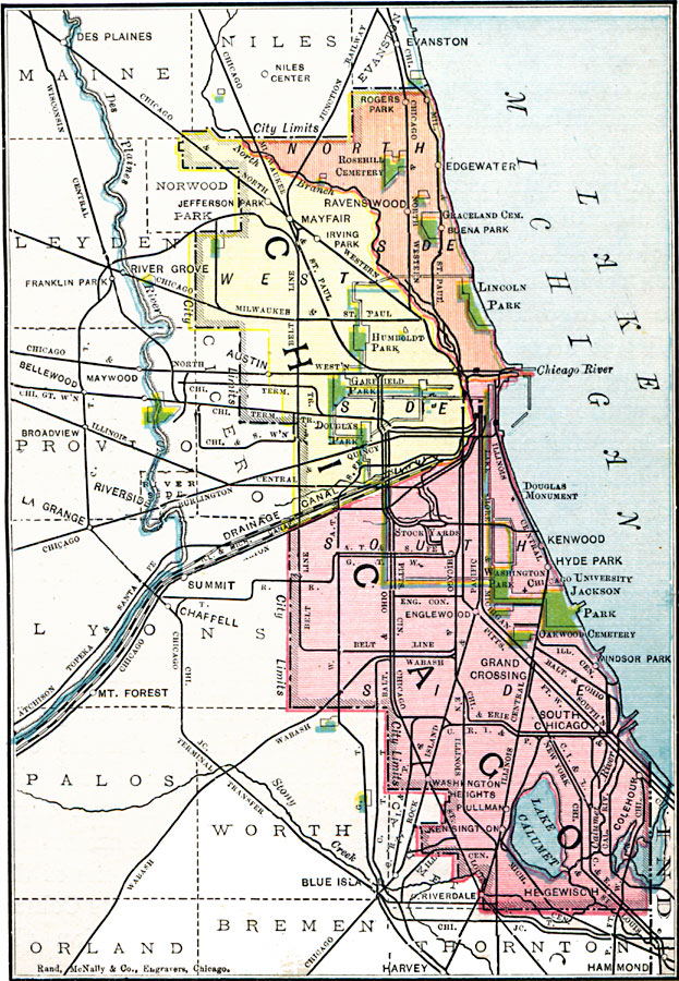
Description: A map from 1901 of Chicago and vicinity showing the city limits, major streets, neighboring cities and towns, major landmarks, the drainage canal, stock yards, parks, Lake Calumet, rivers, and the shoreline of Lake Michigan.
Place Names: Illinois, Chicag
ISO Topic Categories: oceans,
location,
inlandWaters
Keywords: Chicago and Vicinity, borders, �physical, �political, county borders, oceans,
location,
inlandWaters, Unknown, 1901
Source: James A. Bowen, Grammar School Geography (Chicago, IL: Rand, McNally & Company, 1901) 7
Map Credit: Courtesy the private collection of Roy Winkelman |
|