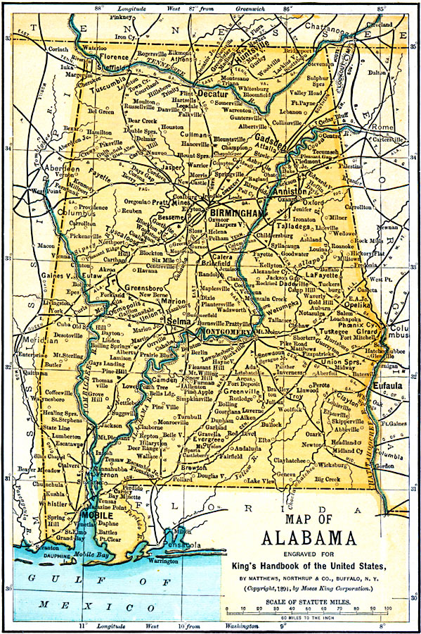
Description: A map of Alabama from 1891 showing the State capital of Montgomery, major cities and towns, railroads, rivers, and Mobil Bay.
Place Names: Alabama, Birmingham, �Mobile, �Montgomery, �Selma, �Anhiston, �Eufaula, �Florence, �Huntsvill
ISO Topic Categories: location,
oceans,
transportation,
inlandWaters
Keywords: Alabama, physical, �transportation, �political, physical features, major political subdivisions, railroads, location,
oceans,
transportation,
inlandWaters, Unknown, 1891
Source: Moses King, King's Handbook of the United States (Buffalo, NY: Moses King Corporation, 1891) 461
Map Credit: Courtesy the private collection of Roy Winkelman |
|