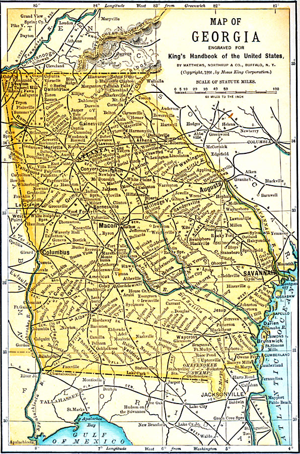
Description: A map from 1891 of Georgia showing the State capital of Atlanta, major cities and towns, railroads, northern mountains, rivers, and the Atlantic coastline.
Place Names: Georgia, Macon, �Atlanta, �Savannah, �Columbus, �Athens, �Augusta, �Clayton, �Milledgeville, �Rom
ISO Topic Categories: location,
oceans,
inlandWaters,
boundaries,
transportation
Keywords: Georgia, physical, �transportation, �political, physical features, major political subdivisions, railroads, location,
oceans,
inlandWaters,
boundaries,
transportation, Unknown, 1891
Source: Moses King, King's Handbook of the United States (Buffalo, NY: Moses King Corporation, 1891) 470
Map Credit: Courtesy the private collection of Roy Winkelman |
|