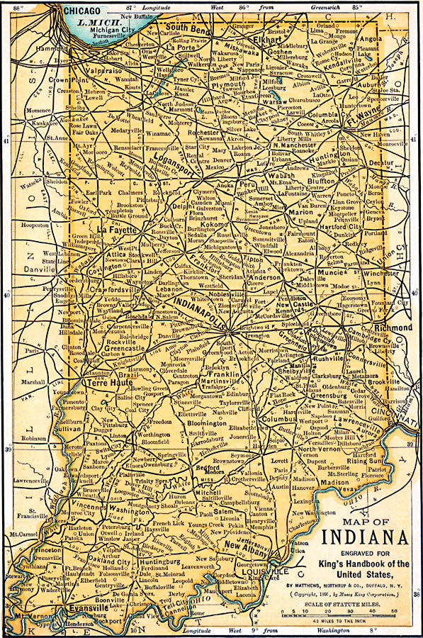
Description: A map from 1891 of Indiana showing the State capital at Indianapolis, major cities and towns, railroads, and rivers.
Place Names: Indiana, Indianapolis, �La Fayette, �New Albany, �Fort Wayne, �South Bend, �Terre Haute, �Columbus, �Evansville, �Madiso
ISO Topic Categories: transportation,
location,
inlandWaters,
boundaries
Keywords: Indiana, physical, �political, �transportation, physical features, major political subdivisions, railroads, transportation,
location,
inlandWaters,
boundaries, Unknown, 1891
Source: Moses King, King's Handbook of the United States (Buffalo, NY: Moses King Corporation, 1891) 473
Map Credit: Courtesy the private collection of Roy Winkelman |
|