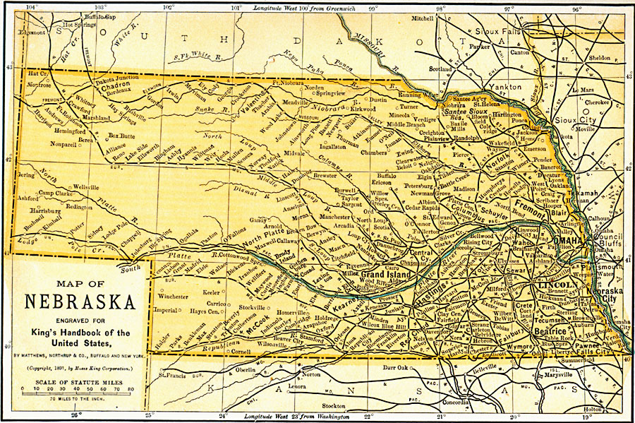
Description: A map from 1891 of Nebraska showing the capital of Lincoln, major cities and towns, railroads, and rivers.
Place Names: Nebraska, Nebraska City, �Omaha, �Fremont, �Columbus, �Lincoln, �Niobrara, �North Platte, �Wahoo, �Stockvill
ISO Topic Categories: boundaries,
location,
inlandWaters,
transportation
Keywords: Nebraska, physical, �transportation, �political, physical features, major political subdivisions, railroads, boundaries,
location,
inlandWaters,
transportation, Unknown, 1891
Source: Moses King, King's Handbook of the United States (Buffalo, NY: Moses King Corporation, 1891) 487
Map Credit: Courtesy the private collection of Roy Winkelman |
|