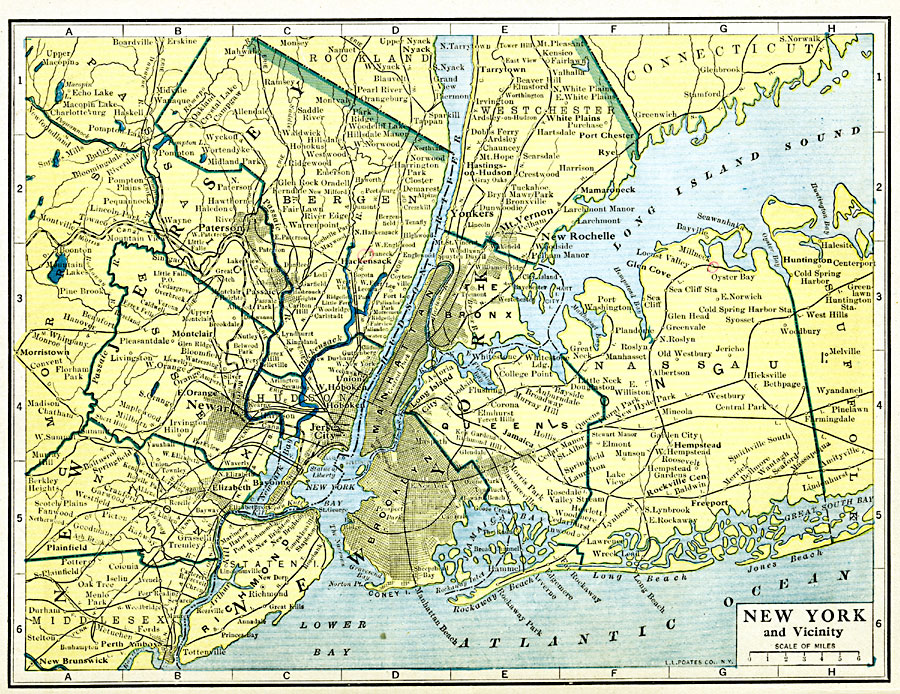
Description: New York and vicinity.
Place Names: Middle Atlantic States, Brooklyn, �Coney Island, �Nassau, �Newark, �Queens, �Rockaway Beach, �New York State, �Middle Atlantic States, �Mid-Atlantic State
ISO Topic Categories: oceans,
location,
inlandWaters
Keywords: New York City and Vicinity, borders, �physical, �country borders,
county borders, oceans,
location,
inlandWaters, Unknown, 1919
Source: L.L. Poates, Poates Complete Atlas of the World (New York, NY: Poates Corporation , 1921) 90
Map Credit: Courtesy the private collection of Roy Winkelman |
|