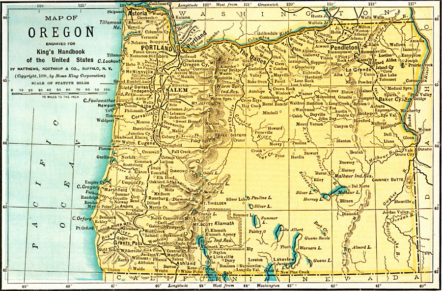
Description: A map from 1891 of Oregon showing the capital of Salem, principal cities and towns, Indian reservations, railroads, mountain systems, lakes, rivers, and coastal features.
Place Names: Oregon, Astoria, �Portland, �Salem, �Eugene City, �Dalles, �Oregon City, �Roseburg, �Umatill
ISO Topic Categories: location,
oceans,
inlandWaters,
transportation,
boundaries
Keywords: Oregon, physical, �transportation, �political, kNativeAmerican, physical features, major political subdivisions, railroads, location,
oceans,
inlandWaters,
transportation,
boundaries, Unknown, 1891
Source: Moses King, King's Handbook of the United States (Buffalo, NY: Moses King Corporation, 1891) 495
Map Credit: Courtesy the private collection of Roy Winkelman |
|